
How We Work.
Clear process - calm delivery evidence you can trust
At SkyEye NW, we work with clients who need reliable information to make decisions. Our approach is structured, transparent, and built around aviation discipline; meaning every survey is planned carefully, carried out safely, and reported clearly.
Whether you manage buildings, land, or energy assets, our aim is the same; to give you usable evidence without disruption or unnecessary complexity.
Step 1: Understand the decision you need to make
Every project starts with a conversation. We focus on what you are trying to confirm or decide; not simply on flying a drone.
We will discuss:
-
The type of site and its use
-
The issue you are investigating; heat loss, moisture, drainage, performance, or condition
-
Timescales and operational constraints
-
Whether thermal imaging is the right tool for your question
If thermal surveying is not appropriate, we will tell you. Honesty at this stage saves time and cost later.
Step 2: Plan the survey properly
Good results come from good planning. Drawing on aviation best practice, we plan each survey methodically.
This includes:
-
Site review and access considerations
-
Safety planning and risk assessment
-
Flight planning and timing to suit thermal conditions
-
Permissions and regulatory compliance
-
Agreeing deliverables and reporting format in advance
This preparation ensures surveys run smoothly on the day and deliver consistent, reliable data.
Step 3: On site data capture
On site, we work calmly and efficiently, with minimal disruption to people and operations.
You can expect:
-
Professional, safety first behaviour
-
Clear communication with site contacts
-
Structured flight patterns for repeatability where required
-
Capture of both thermal and high resolution visual imagery
Our aviation led approach means nothing is rushed; and nothing important is missed.
Step 4: Analysis and interpretation
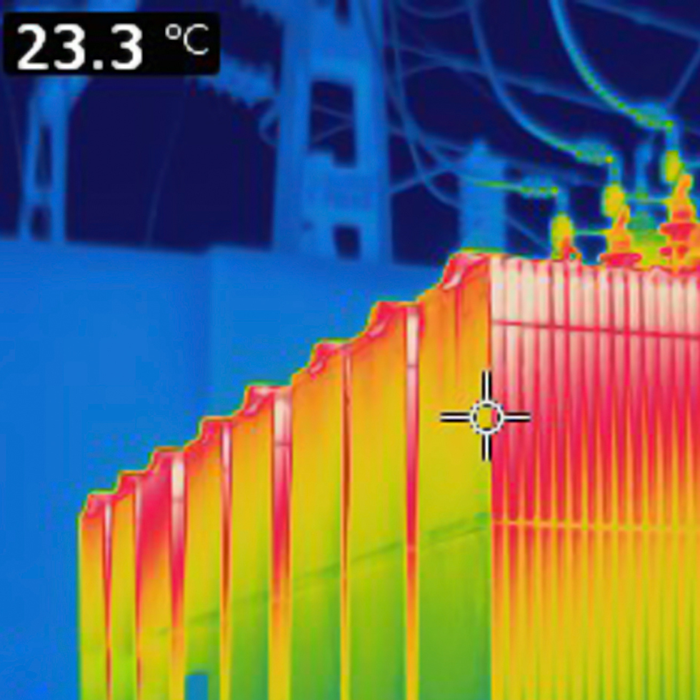
Thermal data only becomes valuable when it is interpreted correctly. We review imagery carefully and assess findings in context.
This includes:
-
Comparing thermal and visual images
-
Identifying patterns and anomalies
-
Considering environmental and site conditions
-
Avoiding overstatement or assumptions
Where appropriate, we will highlight limitations and suggest further investigation rather than drawing unsupported conclusions.
Step 5: Clear reporting and delivery
You receive a tidy, structured report designed for decision makers.
Typically, this includes:
-
Key findings and priority areas
-
Annotated thermal and visual images
-
Location references to support follow up works
-
Practical commentary in plain English
Reports can be formatted to support contractors, maintenance teams, insurers, or asset managers.
Step 6: Ongoing support and repeat surveys
Many clients use SkyEye NW as a repeat partner rather than a one off supplier.
We can support:
-
Seasonal or annual comparison surveys
-
Post repair validation
-
Asset monitoring programmes
-
Stakeholder or board level summary material
Consistency of data capture and reporting allows meaningful comparison over time.
What clients value most
-
A calm, professional presence on site
-
Aviation led safety and discipline
-
Honest advice about what thermal can and cannot show
-
Clear outputs that reduce guesswork
-
Evidence that supports confident decision making
-
Ready to get started
If you have a site, an asset, or a question you need to answer, get in touch. Tell us what you are trying to decide; we will design the right survey approach and deliver evidence you can rely on.